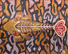
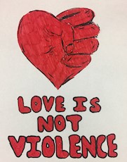
The 26th Golding Showcase Port Curtis Callide Valley Youth Art Exhbition
The Golding Showcase: Port Curtis Callide Valley Youth Art Exhibition is an annual display and an initiative of the Gladstone Regional Art Gallery & Museum Society, supported by the late society patron, Mr Cyril Golding (1920 – 2012). This year marks 26 years of the Golding Showcase.
The exhibition offers young artists aged between 15 to 18 years the unique opportunity to display their